About the Shire
The Shire of Ashburton serves communities across a vast region in the Pilbara, Western Australia. The region is known for mining, agriculture and fishing, and for its rugged, ancient landscape.
At nearly half the size of Victoria (105 647 square km), the Shire of Ashburton boasts some of the world's largest open cut mines, largest pastoral leases and cattle stations and a thriving fishing industry all set against a beautiful and ancient arid tropical landscape.
The main centres of population are the administrative centre of Tom Price and the towns of Onslow, Pannawonica and Paraburdoo. The Shire also encompasses the Aboriginal communities of Bindi Bindi, Wakathuni, Bellary, Youngaleena and Ngurawaana.
The region's 10,000 residents are employed in a variety of industries including oil, gas, mining, cattle, fishing and tourism. The supporting infrastructure also provides employment and career opportunities.
Our Mission
To contribute to the social, economic and environmental prosperity of the Shire of Ashburton by providing in alliance with others, strong community leadership, advocacy, and cost effective facilities and services.
Our Vision
We will embrace our unique Pilbara environment and lifestyle through the development of vibrant, connected, inclusive and active communities that have access to quality services, exceptional amenities and economic vitality.
Our Council Crest
The original Council Crest was bordered with the Sturt Pea. When the Shire was renamed to Ashburton, the Council changed the design of the Crest by replacing the Sturt Pea with the Ashburton Pea, which is native to the Ashburton area.
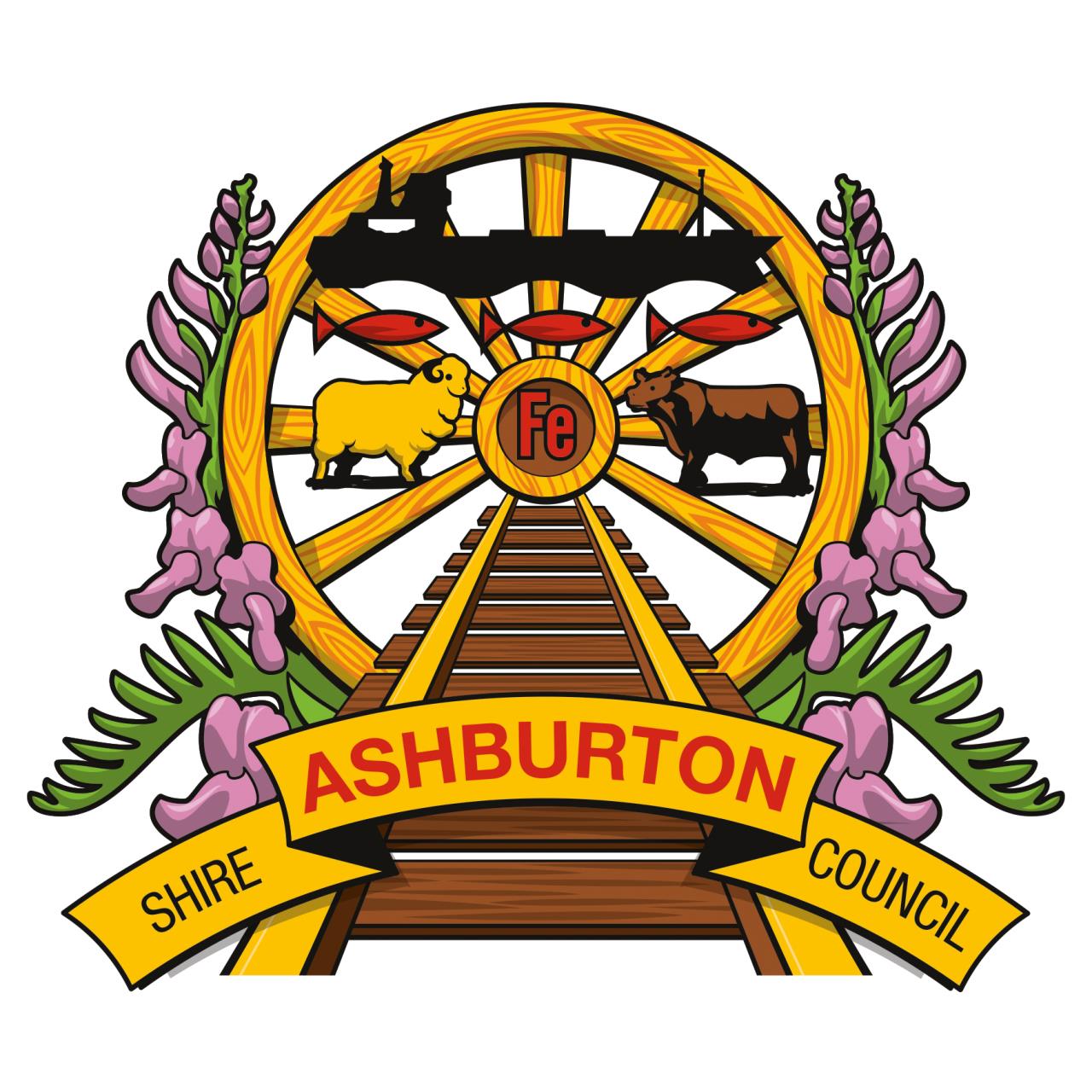
The FE symbol represents iron, which is mined in Tom Price, Paraburdoo and Pannawonica. The cattle and sheep represent the stations and pastoral land located within the Shire. The railway symbolises the expansion of the land due to the iron ore industry and the ship refers to the bulk carriers that transport the iron ore to overseas markets. The fish depict the mullet, which translates to 'Pilbara' in traditional Aboriginal language.
About the Pilbara
The Pilbara region, home to over 60,000 people, encompasses approximately one fifth of Western Australia’s total land mass. As an outcome of both the natural resources residing within the region and its proximity to the Asian Pacific, the Pilbara is a substantial economic contributor at both a state and national level. It was established in 2017 that 14% of the Western Australia’s Gross Regional Product was contributed by the Pilbara, paralleling with the significant amount of iron ore sales across the area. In addition, the Pilbara produced approximately $27 billion worth of oil and gas resources; equating to approximately 66% of Australia’s total oil and gas export. The Pilbara region’s growth projection today reflects their economic contributions, with the majority of the estimated $136 billion allocated to resource projects in 2021, located across the Pilbara.
Representing 20% of Western Australia’s land mass, the Pilbara is a vast, diverse region of mountain ranges, deserts, plains and numerous offshore islands. While at its southern edge the Pilbara is located approximately 1200km north of Perth, the region extends over an area of 507,896km2 from the Indian Ocean in the west, north to the Kimberley and across the Great Sandy Desert to the border of the Northern Territory in the east.
The region’s history dates back as far as 40,000 years with evidence of the Aboriginal population living off the land. Over 700 historic Aboriginal archaeological sites have been found in the Pilbara, and over 10,000 rock engravings. The region, and most notably on the Burrup Peninsula which is recognised as one of the richest petroglyph sites recorded, is a major rock engraving area and features a greater number and variety of figures than anywhere else in Australia, many dating back 30,000 years or more.
The Aboriginal population lived predominantly alone in this area until around 1861 when European explorers first came to settle in the Pilbara. Early European settlement occurred at Roebourne and the port of Cossack. Early industry was largely pastoral, gold mining and pearling. Until the advent of iron ore mining in the 1960s, the only towns were Onslow, Roebourne, Point Samson (having replaced Cossack as the port servicing Roebourne), Wittenoom, Marble Bar, Nullagine and Port Hedland.
Our Values

Contribute to your local community with a career at the Shire of Ashburton. Join a team that is driving change, transforming our community and striving for excellence.
Our values underpin all that we do and contribute to the success of the Shire through;
- Respect
- Openness
- Teamwork
- Leadership
- Excellence
- Health & Wellbeing
You will have the opportunity to work on meaningful projects that have a direct impact on shaping the future of our community.
You will have clarity on what needs to be done and how your role fits within the team and our corporate community and strategic plans.
You will have the opportunity to work for one of the largest local government areas in Western Australia, one that contributes over $16billion or 38.8% of the Pilbara’s GPD.
We will work collaboratively with you to ensure your continued professional development and success.